

Description
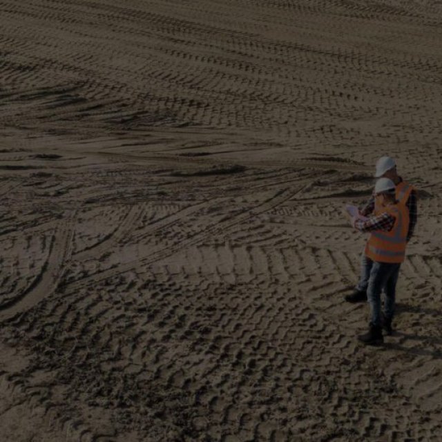
AutoPlotter Advanced delivers an affordable solution for everyday land surveying needs. Built on the powerful DTM engine of its Pro counterpart, it seamlessly processes data from total stations, GPS, or similar instruments. Generate professional topographic and contour maps, perform traverse adjustments, and coordinate conversion. Its built-in CAD tools let you create complete drawings, while features like instant map creation and 3D terrain views accelerate your workflow. Easy to learn and use, AutoPlotter Advanced is ideal for surveyors seeking productivity and affordability.
Extras
Reviews
To write a review, you must login first.
Similar Items

bagy painting
bagy painting
A Guide to Choosing the Best Construction Company

best construction company